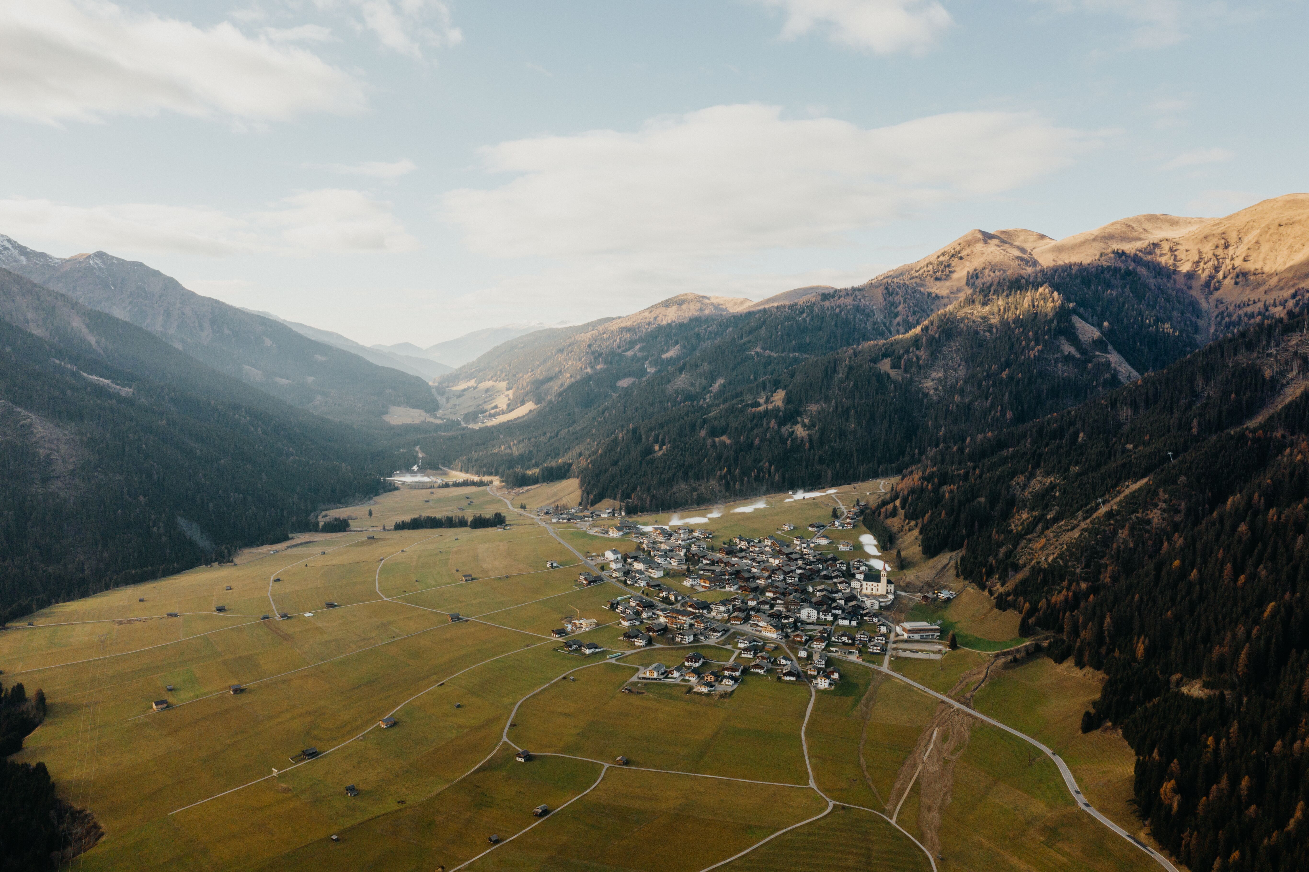
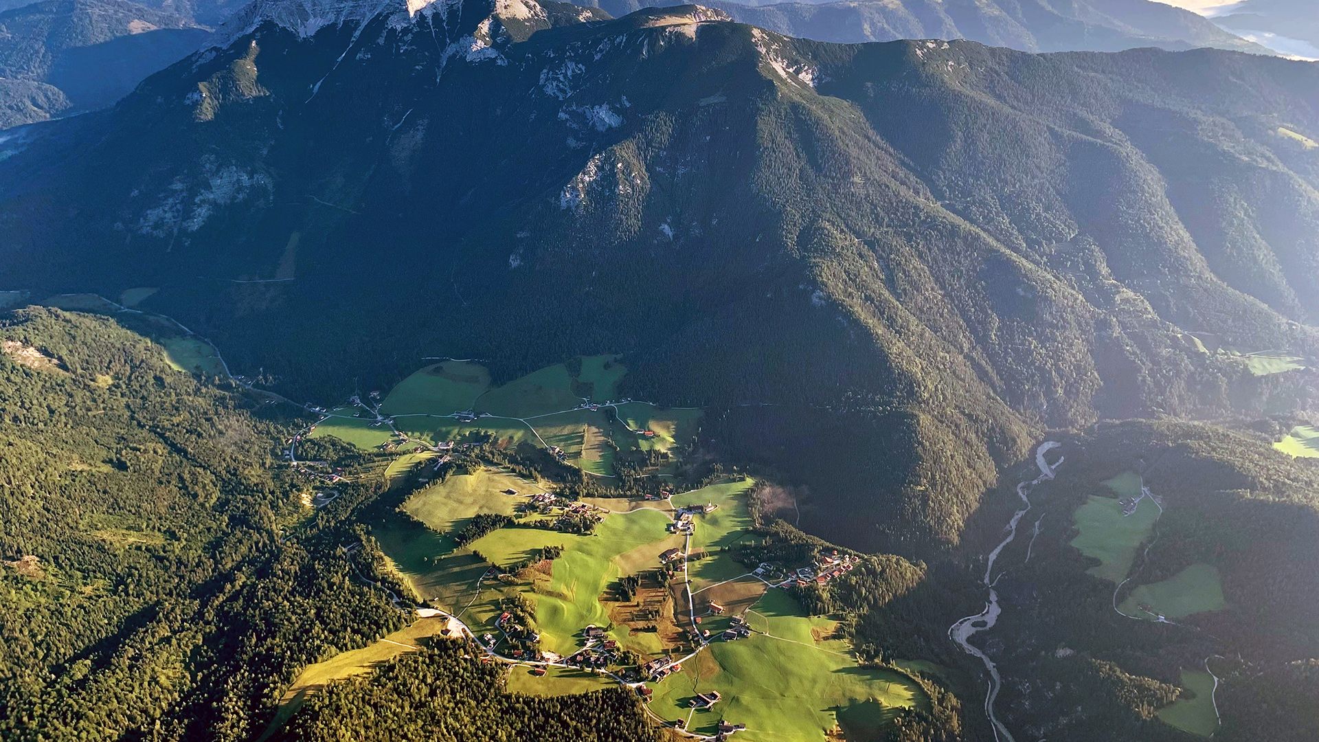
![Wandern in Gerlos, © Zillertal Arena Wandern in Gerlos, © Zillertal Arena](https://www.tirol.at/images/jn6njjk96tk-/wandern-in-gerlos.jpg)
Wandertouren in Gerlos im Zillertal
Karte
![On the way to the summit high above Gerlos, © TVB Zell-Gerlos, Zillertal Arena On the way to the summit high above Gerlos, © TVB Zell-Gerlos, Zillertal Arena](https://www.tirol.at/images/6z!gzbp_klw-/on-the-way-to-the-summit-high-above-gerlos.jpg)
Auf Karte
anzeigenIsskogel (2.264 m) - Kreuzjoch (2.558 m)
Gipfelwanderung
Ausgangspunkt: Bergstation Isskogelbahn, Gerlos
Länge: 17 km
Höhenmeter bergauf: 700 m
Gehzeit gesamt: 6 h 30 min
Schwierigkeit: schwierig (schwarze Bergwege)
![Familientour ins Schwarzachtal, © TVB Zell-Gerlos, Zillertal Arena Familientour ins Schwarzachtal, © TVB Zell-Gerlos, Zillertal Arena](https://www.tirol.at/images/kbycl4_8ehk-/familientour-ins-schwarzachtal.jpg)
Auf Karte
anzeigenSchwarzachtal
Bergwanderung
Ausgangspunkt: Gasthof Kühle Rast, Gerlos-Gmünd
Länge: 5 km
Höhenmeter bergauf: 209 m
Gehzeit gesamt: 2 h
Schwierigkeit: leicht (Wanderwege)
finden Sie auf der offiziellen Website des Tourismusverbandes.